


Defining neighbourhood boundaries, social networks and connections to the wider region. pdf download
Goal: To understand the relationships the community residents have with one another and the broader uban context.
Audience: A representative sample.
What you need:
– Note paper
– A location suitable for discussion if necessary
– Maps of varying scales
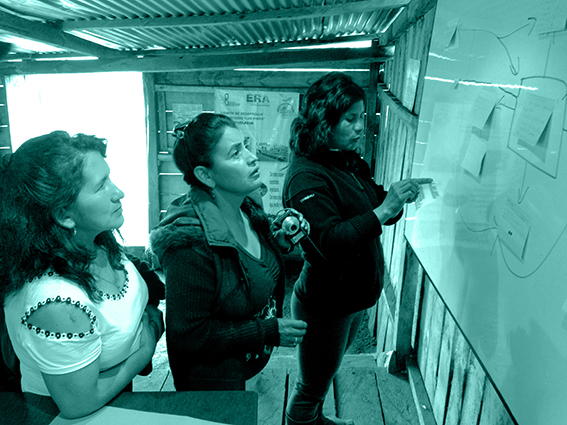
Description
This exercise initiates discussion with regards to; the definition of the neighbourhood’s boundaries, social networks and flows that link residents to its wider region and services/resource with it.
The aim is to build an initial picture of key issues affecting residents in relation to their city, the values that residents attach to the context within the community, and the key connections that have potential for further investigation and development. Recording of this information can be purely qualitative or part of visuals on maps.
Instructions:
Step 1: In focus groups with maps and visual representations of observed and previously highlighted points of interest (eg. dirt road), open discussions about residents’ thoughts and feelings about the current boundaries and connections within the wider region.
Step 2: Analyse the information from the focus group discussions and prepare basic infomation boards with various findings.
Step 3: As part of a new discussion, facilitators categorise neighbourhood boundaries, social networks and connections the neighbourhood have to its wider region and verfiy findings with residents.